Walkers can now take a trip back in time to discover the industrial history of the Yorkshire Dales national park, thanks to new app.
For decades, lead mining played a massive part in the shaping of the landscape and the communities in the national park.
The free app, which has been developed by Audio Trails on behalf of the Yorkshire Dales National Park Authority and mainly funded by Historic England, is an absolute must for anyone who wants to learn about the industry while they are actually walking around the sites. It’s like having your own personal tour guide.
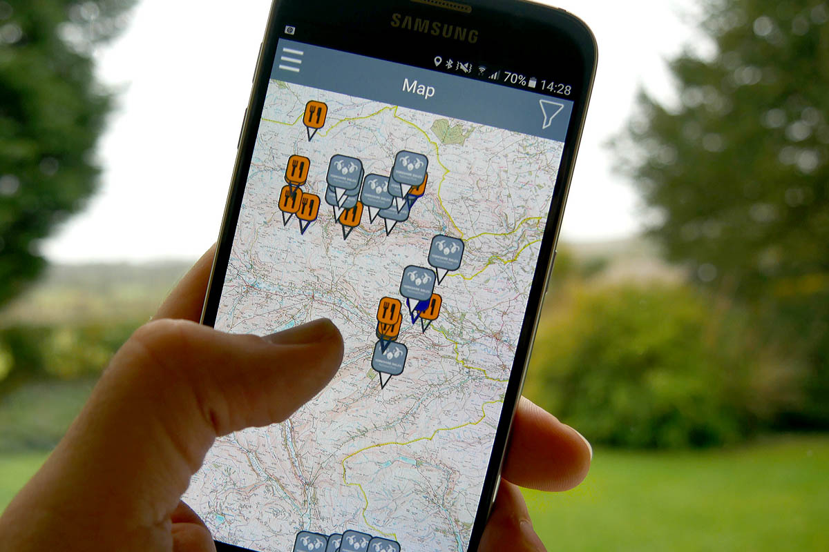
The app contains archive images, site descriptions, plus pinch and zoom OS maps for the whole national park. Sites range from Grassington miners’ cottages to the Old Gang peat store in Swaledale.
There are also audio trails, walking routes, activities for children and useful visitor information such as places to eat, accommodation links, public toilets and car parks.

“The app is fun and easy to use with photos that help bring the sites to life so we think it will appeal to a wider audience than traditional history books.”
Yvonne Luke, heritage at risk officer at Historic England
The lead mining app is available for both iOS and Android platforms and is available on iTunes and Google Play.
More information about the history of lead mining in the Yorkshire Dales can also be found on the national park authority’s Out of Oblivion website.